Have you ever wondered about the diverse geography and stunning landscapes of the Philippines? How well do you know the thousands of islands that make up this beautiful archipelago? Embark on a journey of discovery as we explore the detailed map of the Philippines, uncovering its unique features, natural wonders, and cultural heritage.
Key Takeaways:
- Discover the three main regions of the Philippines: Luzon, Visayas, and Mindanao.
- Learn about the geographical profile of Luzon, the largest and most populous island.
- Explore the scenic landscapes and natural wonders of Visayas, including Bohol’s famous Chocolate Hills.
- Dive into the diverse landscapes of Mindanao, featuring the towering Mount Apo and the Bukidnon-Lanao Plateau.
- Uncover the various bodies of water surrounding the Philippines, from the Philippine Sea to the Cagayan River.
Geographical Profile of Luzon
Luzon, the largest and most populous island in the Philippines, is a treasure trove of diverse landscapes and stunning natural wonders. Its geographical features are characterized by rugged terrains, majestic mountain ranges, and captivating volcanoes.
The Cordillera Central mountain range stretches across Luzon, offering breathtaking vistas and challenging trails for adventurous hikers. This magnificent mountain range is home to iconic peaks such as Mount Pulag, renowned for its sea of clouds, and Mount Amuyao, which boasts panoramic views of the surrounding countryside.
The Sierra Madre mountain range, on the eastern coast of Luzon, stands as a formidable barrier against the Pacific Ocean. With its lush forests and pristine rivers, it is a paradise for nature lovers and outdoor enthusiasts seeking serenity and tranquility.
Mayon Volcano: A Fiery Marvel
“Mayon Volcano, one of the most active volcanoes in the Philippines, proudly stands in the Bicol Peninsula.”
Located in the southeast of Luzon, the Bicol Peninsula showcases a unique blend of flatlands and mountainous regions. Here, visitors can witness the raw power of nature through Mayon Volcano’s perfect cone shape and its occasional fiery eruptions.
Standing at an elevation of 2,463 meters, Mayon Volcano captivates with its beauty and casts a mystical ambiance over the surrounding landscape. Its symmetrical silhouette and lush vegetation make it a popular attraction for both locals and tourists.
Geographic Features of Visayas
The Visayas region is located in the central part of the Philippines and is made up of several islands surrounded by the Philippine Sea, Sulu Sea, and Visayan Sea. It is divided into three regions: Western Visayas, Central Visayas, and Eastern Visayas.
In Western Visayas, Panay Island stands out with its diverse geology. The island is known for its central mountain range, which offers breathtaking landscapes and opportunities for adventurous activities. The fertile plains of Panay Island also contribute to its rich agricultural industry, making it a significant contributor to the region’s economy.
Central Visayas, on the other hand, boasts the bustling island of Cebu, the most densely populated island of the Philippines. Cebu is an urban hub that combines modernity with cultural heritage, attracting both local and international tourists. Whether it’s exploring historical sites, indulging in local cuisine, or enjoying vibrant festivals, Cebu has something for everyone.
Bohol, a part of Central Visayas, is a popular tourist destination known for its unique natural wonder, the Chocolate Hills. These cone-shaped hills, covered with green grass that turns brown during the dry season, create a jaw-dropping landscape that leaves visitors in awe. Bohol also offers stunning beaches, rich biodiversity, and intriguing cultural heritage sites.
Eastern Visayas completes the trifecta with its own set of natural marvels. While the region has beautiful coastlines and idyllic islands, it is also home to captivating geological formations that tell a story of the Earth’s tumultuous past. One such example is the Sohoton Caves in Samar, where visitors can marvel at stalactites and stalagmites formed over millions of years.
The Visayas region, with its diverse geography and natural attractions, presents a wealth of opportunities for both adventure seekers and leisure travelers. Whether you’re exploring the central mountain range of Panay Island, immersing in the vibrant culture of Cebu, or marveling at the Chocolate Hills in Bohol, Visayas is a destination that will captivate your senses and leave you with unforgettable memories.
Exploring the Chocolate Hills
The Chocolate Hills is a geological formation located in the province of Bohol within the Central Visayas region. It is made up of approximately 1,268 cone-shaped hills spread over an area of 50 square kilometers. These hills are covered in green grass that turns brown during the dry season, resembling a landscape of chocolate kisses, hence their name.
Visiting the Chocolate Hills is an extraordinary experience that allows you to witness nature’s artistry at its finest. There are several viewpoints where you can appreciate the panoramic view of the hills, providing ample opportunities for photography and creating lasting memories. Exploring the area, you may also encounter unique wildlife species and enjoy activities such as ATV rides and zip-lining.
The Chocolate Hills is not only a natural wonder but also a symbol of pride for the people of Bohol. It has been declared a National Geological Monument and proposed for UNESCO World Heritage status. Its geological significance and stunning beauty make it a must-visit destination for travelers looking to immerse themselves in the wonders of nature.
| Region | Main Islands | Notable Geographic Features |
|---|---|---|
| Western Visayas | Panay Island, Guimaras, Negros Occidental, Iloilo | Central mountain range, fertile plains |
| Central Visayas | Cebu, Bohol, Negros Oriental, Siquijor | Chocolate Hills, vibrant urban centers |
| Eastern Visayas | Leyte, Samar, Biliran, Eastern Samar | Sohoton Caves, stunning coastlines |
Landscape of Mindanao
Mindanao, the second-largest island in the Philippines, boasts diverse and breathtaking landscapes that attract nature enthusiasts and adventurers. From majestic mountain ranges to fertile valleys, Mindanao offers a wide array of natural wonders to explore.
The Diwata Range
One of the notable mountainous regions in Mindanao is the Diwata Range. This rugged mountain range spans across the island, providing stunning views and challenging trekking opportunities for outdoor enthusiasts. The Diwata Range is known for its lush forests, picturesque waterfalls, and diverse flora and fauna.
The Kitanglad Range
Another prominent mountain range in Mindanao is the Kitanglad Range, located in the province of Bukidnon. It is home to Mount Kitanglad, the fourth highest peak in the Philippines. Adventurers can embark on thrilling hikes and witness the beauty of the mountain’s towering peaks, verdant forests, and vibrant wildlife.
The Bukidnon-Lanao Plateau
Situated between the Diwata Range and the Kitanglad Range is the Bukidnon-Lanao Plateau. This plateau is a sprawling expanse of fertile valleys and rolling hills, making it an agricultural hub in Mindanao. It is renowned for its coffee plantations, pineapple farms, and scenic landscapes that offer a calming escape from the bustling cities.
Mount Apo
The crown jewel of Mindanao’s landscape is Mount Apo, the highest peak in the Philippines, towering at approximately 2,954 meters. This majestic mountain is located within Mount Apo Natural Park and is a UNESCO World Heritage Site. Climbing Mount Apo offers adventurers a chance to witness stunning vistas, encounter unique flora and fauna, and experience the thrill of conquering one of the country’s most iconic peaks.
Whether you’re exploring the picturesque Diwata Range, conquering the challenging Kitanglad Range, immersing yourself in the beauty of the Bukidnon-Lanao Plateau, or embarking on a daring ascent of Mount Apo, Mindanao promises an unforgettable journey through its remarkable landscapes.
Bodies of Water in the Philippines
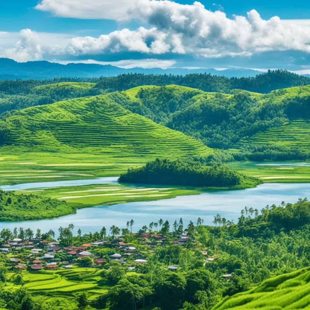
The Philippines is blessed with numerous bodies of water, both internal and external, enhancing its natural beauty and contributing to its rich biodiversity. Let’s explore some of the prominent water features that grace the Philippine archipelago.
Philippine Sea
The Philippine Sea is an integral part of the country’s eastern border, providing a stunning backdrop for breathtaking sunsets. This vast expanse of azure blue stretches across the eastern seaboard of the Philippines, connecting it to neighboring nations. Its pristine waters are home to diverse marine life, making it a haven for snorkelers and scuba diving enthusiasts.
South China Sea
The South China Sea borders the western side of the Philippines, offering a gateway to pristine beaches and vibrant coral reefs. With its crystal-clear waters and abundant marine biodiversity, this sea is a popular destination for water sports enthusiasts and beach lovers alike.
Laguna de Bay
Laguna de Bay, located in Luzon, is the largest lake in the Philippines. This scenic freshwater lake provides a serene escape from urban life, attracting visitors with its peaceful ambiance and beautiful scenery. The lake is not only a popular fishing spot but also plays a vital role in the irrigation systems of surrounding provinces.
Lake Lanao
Lake Lanao, found in the province of Lanao del Sur in Mindanao, is the second-largest lake in the Philippines. Surrounded by majestic mountains, this picturesque lake offers a tranquil setting for nature lovers and adventure seekers. It is considered a sacred site and holds cultural significance for the indigenous people of the area.
Cagayan River
The Cagayan River is the longest and largest river in the Philippines. It flows through the provinces of Nueva Vizcaya, Quirino, and Cagayan in Luzon, carving a path through lush valleys and cascading waterfalls. The river serves as an important water source for irrigation and hydroelectric power generation.
Pasig River
The Pasig River winds its way through the heart of Manila, the bustling capital city of the Philippines. It connects Laguna de Bay to Manila Bay, serving as a vital waterway for transportation and trade. Despite its urban setting, efforts are underway to rehabilitate and preserve this historic river, enhancing its ecological importance and recreational potential for both locals and tourists.
These bodies of water are just a glimpse into the natural wonders that the Philippines has to offer. From tranquil lakes to vast seas, they contribute to the country’s charm and showcase its astounding beauty. Whether you’re an adventurer seeking thrilling water sports or a nature lover yearning for serenity, the Philippines has the perfect aquatic paradise for you to explore.
Islands of the Philippines
The Philippines is a remarkable archipelago consisting of over 7,600 islands, each offering its own unique allure. Let’s discover some of the largest islands and their distinct characteristics:
Luzon
The island of Luzon is the largest and most populous in the Philippines, captivating visitors with its diverse landscapes and vibrant culture. Luzon is home to the majestic Cordillera Central mountain range and the picturesque Sierra Madre mountain range. Additionally, the famous Mayon Volcano in the Bicol Peninsula showcases its natural grandeur.
Mindanao
Mindanao, the second-largest island, is known for its stunning natural beauty and rich biodiversity. It boasts the enchanting Diwata Range and the captivating Kitanglad Range, enticing adventure seekers and nature enthusiasts alike. Mindanao’s fertile valleys, such as the Bukidnon-Lanao Plateau, contribute to its agricultural productivity. A prominent highlight of Mindanao is Mount Apo, the highest peak in the Philippines.
Visayas
The Visayas region is a captivating cluster of islands embraced by the Philippine Sea, Sulu Sea, and Visayan Sea. It encompasses Western Visayas, Central Visayas, and Eastern Visayas, each offering its own distinct beauty. Western Visayas is home to Panay Island, adorned with a majestic central mountain range and fertile plains. Central Visayas includes the vibrant islands of Cebu and Bohol, where travelers can witness the iconic Chocolate Hills.

Palawan and Boracay
Palawan has gained worldwide acclaim for its breathtaking landscapes, crystal-clear waters, and diverse marine life. This island paradise captivates visitors with wonders such as the iconic Puerto Princesa Underground River, a UNESCO World Heritage Site. Meanwhile, Boracay entices beach lovers with its powdery white sands and vibrant nightlife, making it a popular tourist destination.
“The beauty and diversity of the islands in the Philippines are unparalleled, offering an unforgettable experience for every traveler.” – Unknown
Spratly Islands
The Spratly Islands, nestled in the South China Sea, are a group of disputed islets and reefs. Though small in size, they play a significant role in the Philippines’ territorial claims and are subject to ongoing international disputes.
| Island | Area (km²) |
|---|---|
| Luzon | 109,965 |
| Mindanao | 94,630 |
| Palawan | 17,030 |
| Boracay | 10.32 |
Explore these magnificent islands and create memories that will last a lifetime.
Administrative Divisions of the Philippines
The Philippines is a country with a well-defined administrative division system. It is divided into 17 regions, 81 provinces, 146 cities, 1,488 municipalities, and 42,036 barangays, which are the smallest local government units. Each administrative division plays a crucial role in the governance and development of the country.
Regions: The Philippines is composed of 17 regions, each with its own unique characteristics and contributions to the nation. These regions serve as administrative entities that oversee the local government units within their jurisdiction.
Provinces: The 81 provinces in the Philippines are further subdivided into cities and municipalities. Provinces serve as vital administrative units, managing local affairs, implementing government programs, and providing essential services to their constituents.
Cities: With a total of 146 cities, the Philippines is home to bustling urban centers that serve as hubs for commerce, trade, and population concentration. These cities are responsible for creating economic opportunities, maintaining infrastructure, and delivering services to their residents.
Municipalities: The Philippines has 1,488 municipalities, which are primarily rural areas known for agriculture and tourism. These local government units play a crucial role in local governance, economic development, and social welfare.
Barangays: The smallest administrative division in the Philippines is the barangay. With a staggering number of 42,036 barangays across the country, these units serve as the foundation of local governance. Barangays are responsible for maintaining peace and order, implementing community projects, and promoting the welfare of their constituents.
It is through the collaborative efforts of these various administrative divisions that the Philippines is able to effectively govern and serve its people.
Provinces in the Philippines
| Region | Provinces |
|---|---|
| Abra | Aklan |
| Albay | Cavite |
| Cebu | Palawan |
Location of the Philippines
The Philippines is a captivating archipelago situated in Southeast Asia, boasting a strategic position between the Pacific Ocean to the east and the South China Sea to the west. It shares maritime borders with several neighboring countries, including Indonesia, China, Japan, Palau, Malaysia, Vietnam, and Taiwan. Spanning both the Northern and Eastern hemispheres, the Philippines’ location grants it unique cultural and economic ties to both the Asian continent and the Pacific region.
Bordered by the Pacific Ocean and the South China Sea, the Philippines occupies a prime spot in Southeast Asia.
Regional Maps and Outline Maps
The Philippines, as part of Southeast Asia, is prominently featured on regional maps of Asia. These maps provide a comprehensive view of the country’s location in relation to neighboring countries and bodies of water.
Regional maps are essential tools for travelers, explorers, and researchers interested in gaining a broader context of the region’s geography. They offer valuable insights into the Philippines’ position within Southeast Asia and highlight its significance as an archipelagic nation.
In addition to regional maps, outline maps of the Philippines are available for educational purposes. These maps are particularly useful for educators and students engaged in map-pointing and coloring activities.
An outline map of the Philippines presents a simplified view of the country’s landmass, showcasing its major geographical features and boundaries. It allows users to familiarize themselves with the overall shape and layout of the archipelago.
Whether you’re planning a trip or conducting research, having access to regional and outline maps of the Philippines can greatly enhance your understanding of the country’s geographical context and provide a visual aid in navigating its diverse landscapes.
Regional Maps and Outline Maps
| Benefits | Uses |
|---|---|
| Gain a broader context of the region’s geography | Plan trips and explore neighboring countries |
| Understand the Philippines’ position in Southeast Asia | Conduct research on the region’s cultural and historical aspects |
| Visualize the country’s overall shape and layout | Enhance educational map-pointing and coloring activities |
Key Facts about the Philippines
Here are some important key facts about the Philippines:
- The Philippines covers a total land area of 300,000 sq. km, making it an archipelagic nation in Southeast Asia.
- Manila, the capital city, is located in Luzon and serves as the major administrative, political, social, cultural, and economic center of the country.
- Quezon City is the largest and most populous city in the Philippines and is part of Metro Manila, the National Capital Region.
These key facts highlight the vast land area of the Philippines and the importance of Manila and Quezon City as key urban centers within the country.
Image: A stunning aerial view of Metro Manila, showcasing its vibrant urban landscape.
Philippines Bordering Countries and Cities
The Philippines is a beautiful archipelago in Southeast Asia, located in the western Pacific Ocean. While it does not share any land borders with other countries, it is surrounded by the Philippine Sea, the South China Sea, and neighboring countries in close proximity. Let’s explore some notable cities that you should visit during your trip to the Philippines.
Angeles
Angeles is a vibrant city in central Luzon known for its rich history and vibrant nightlife. Located in Pampanga province, Angeles offers a mix of cultural heritage, modern attractions, and culinary delights. Don’t miss the opportunity to visit the historic Santa Maria Church and enjoy the vibrant atmosphere of Fields Avenue, the city’s entertainment district.
Baguio
Baguio, often referred to as the “Summer Capital of the Philippines,” is a popular destination in the mountains of Luzon. Known for its cool climate and stunning natural landscapes, Baguio offers a refreshing escape from the tropical heat. Explore the breathtaking views from Mines View Park, visit the colorful Baguio Public Market, and immerse yourself in the local culture and crafts at the Baguio City Market.
Cebu
Cebu is a bustling city located in the Visayas region of the Philippines. It is a hub of commerce, tourism, and cultural heritage. Explore the historic charm of Fort San Pedro, visit the iconic Magellan’s Cross, and indulge in the fresh seafood at the famous Larsian Barbecue. Don’t forget to experience the vibrant energy of Cebu’s Sinulog Festival, celebrated every January.
Davao
Davao is the largest city on the island of Mindanao and is known for its natural beauty and rich biodiversity. Visit the picturesque Philippine Eagle Center, explore the stunning landscapes of Mount Apo, and indulge in the unique flavors of Durian, Davao’s famous fruit. Davao is also home to beautiful beaches and is a gateway to the stunning Samal Island.
Manila
Manila, the capital city of the Philippines, is a bustling metropolis that offers a blend of history, culture, and modernity. Visit the historic sites of Intramuros, explore the vibrant street food scene in Binondo, and shop ’til you drop in the upscale malls of Makati. Manila is also home to world-class museums and theaters, making it a cultural hub for arts and entertainment.
While the Philippines may not have land borders, its geographical location offers a unique setting for exploration and discovery. From the vibrant cities like Angeles, Baguio, Cebu, Davao, and Manila to the stunning natural landscapes, there’s something for everyone in this tropical paradise.
Philippines Natural Resources and Hazards
The Philippines is a country rich in natural resources, with abundant reserves of valuable metals such as cobalt, silver, gold, nickel, and copper. These resources play a crucial role in the country’s economy and contribute to its industrial development.
However, the Philippines also faces significant challenges related to its natural environment. One of the major issues is uncontrolled deforestation, which has led to the loss of valuable forest ecosystems. Deforestation not only disrupts the balance of the local ecosystem but also contributes to climate change through increased carbon dioxide emissions.
In addition to deforestation, the Philippines also experiences soil erosion, which threatens agricultural productivity and can lead to landslides and other related hazards. Soil erosion occurs when the protective vegetation cover is removed, leaving the soil vulnerable to erosion by wind and water.
Pollution is another pressing environmental concern in the Philippines. Rapid urbanization and industrialization have resulted in increased pollution, particularly in major cities. Air pollution from vehicle emissions and industrial activities poses health risks to the population, while water pollution from inadequate waste management and industrial discharge affects aquatic ecosystems and the availability of clean water.
| Natural Resources | Challenges |
|---|---|
| Cobalt | Uncontrolled deforestation |
| Silver | Soil erosion |
| Gold | Pollution |
| Nickel | |
| Copper |
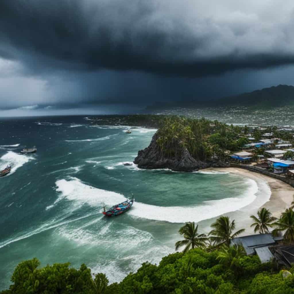
The Philippines is also prone to natural hazards due to its geographical location. The country experiences frequent typhoons that cause strong winds, heavy rainfall, and flooding. Earthquakes are also common in the region, as the Philippines is located along the Pacific Ring of Fire, a zone of intense seismic activity. Landslides can occur in mountainous areas, especially during heavy rainfalls. Moreover, the Philippines has several active volcanoes that periodically erupt, posing risks to nearby communities.
Despite the challenges of deforestation, pollution, and natural hazards, the Philippines is actively working towards sustainable development and protecting its natural resources. Efforts are being made to promote reforestation, implement stricter environmental regulations, and raise awareness about the importance of preserving the country’s unique ecosystems.
By addressing these issues and implementing sustainable practices, the Philippines aims to strike a balance between maximizing the potential of its natural resources and ensuring a healthy and resilient environment for future generations.
Environmental Issues in the Philippines
The Philippines is facing numerous environmental issues that require immediate attention and action. These issues have significant impacts on the country’s natural resources, ecosystems, and overall sustainability.
Deforestation
One of the most pressing environmental issues in the Philippines is deforestation. Rampant logging and the expansion of agriculture have resulted in the loss of large areas of forest cover. This deforestation not only disrupts ecosystems but also contributes to climate change by reducing the country’s carbon sink capacity.
Soil Erosion
The degradation of soil due to erosion is another critical environmental concern in the Philippines. Unsustainable land use practices, such as improper farming techniques and illegal mining, lead to the erosion of topsoil. This process degrades the fertility of the land, putting agricultural productivity at risk and increasing the vulnerability of communities to natural disasters.
Air Pollution
Major urban centers in the Philippines, such as Manila, face severe air pollution problems. Factors contributing to air pollution include vehicle emissions, industrial activities, and the burning of fossil fuels. This pollution not only poses risks to public health but also contributes to the country’s greenhouse gas emissions and climate change.
Water Pollution
The Philippines’ water bodies, including rivers, lakes, and coastal areas, are suffering from pollution. Waste discharge from industries, improper disposal of solid waste, and inadequate wastewater treatment systems contaminate water sources. This pollution threatens marine life, affects fishing communities, and compromises the availability of clean water for various sectors.
“We must take immediate action to address these environmental issues and safeguard the future of the Philippines. By implementing sustainable practices, promoting reforestation efforts, improving waste management systems, and adopting cleaner technologies, we can protect our natural resources and preserve the beauty and biodiversity of our country.”
Furthermore, the degradation of coastal mangrove swamps and coral reefs poses additional environmental challenges. Coastal development, pollution, and destructive fishing practices are threatening these valuable ecosystems, which provide critical habitats for various species and act as buffers against storms and erosion.
Maps for Travelers and Tourists
When traveling to the Philippines, having a reliable map is essential for exploring the different regions and popular destinations. Fortunately, there are various traveler maps available that cater to the needs of tourists. These maps provide detailed information about major cities, ferry routes, and touristic attractions, ensuring that you make the most of your visit.
City Maps
For travelers heading to Manila, Cebu, Davao, or other major cities in the Philippines, city maps are readily available. These maps highlight key landmarks, transportation hubs, and points of interest, making it easier to navigate unfamiliar territories. Whether you’re planning to visit historical sites, shopping districts, or local markets, these city maps are your trusted companion.
Tourist Maps
Exploring the natural wonders and tourist spots in the Philippines is made easier with dedicated tourist maps. These maps not only showcase the country’s diverse landscapes but also provide information about popular attractions and activities. From pristine beaches to lush mountains, these maps highlight the best places to visit, ensuring that you don’t miss out on the must-see sights.
“Maps are not just tools for navigation, but gateways to undiscovered treasures.”
One popular destination among tourists is the breathtaking island of Boracay. Known for its white-sand beaches and crystal-clear waters, Boracay has its own specific map that showcases the island’s layout, accommodations, and major tourist areas. Whether you’re planning to relax on the beach, engage in water sports, or experience the vibrant nightlife, the Boracay map will guide you every step of the way.
Maps can be obtained at airports, hotels, or tourist information centers. They can also be downloaded online or accessed through mobile applications, ensuring that you have easy access to navigation tools wherever you go. Embrace the spirit of adventure and embark on a journey like no other with these traveler maps.
Availability of Traveler Maps
| Map | Availability |
|---|---|
| Manila | Available at airports, hotels, tourist information centers, and online |
| Cebu | Available at airports, hotels, tourist information centers, and online |
| Davao | Available at airports, hotels, tourist information centers, and online |
| Boracay | Available at resorts, hotels, tourist information centers, and online |
With these traveler maps in hand, you can confidently embark on your journey throughout the Philippines. Explore the vibrant cities, immerse yourself in the rich culture, and discover the unparalleled beauty of this tropical paradise. Let the maps be your guide and unlock the wonders that the Philippines has to offer.
Conclusion
In conclusion, the Philippines is a diverse and beautiful archipelago in Southeast Asia. Its unique geography, rich natural resources, and cultural heritage make it a popular destination for travelers and tourists. Whether exploring the stunning islands, vibrant cities, or experiencing the warm hospitality of the Filipino people, a detailed map of the Philippines is an essential tool for navigation and discovery.
FAQ
What is the archipelago in Southeast Asia called?
The archipelago in Southeast Asia is called the Philippines.
How many islands make up the Philippines?
The Philippines consists of over 7,600 islands.
Which regions is the Philippines divided into?
The Philippines is divided into three main regions: Luzon, Visayas, and Mindanao.
What is the largest and most populous island in the Philippines?
Luzon is the largest and most populous island in the Philippines.
What are some geographic features of Luzon?
Luzon has a rugged topography dominated by the Cordillera Central mountain range and the Sierra Madre mountain range. It also features the Mayon Volcano.
What are the divisions of the Visayas region?
The Visayas region is divided into Western Visayas, Central Visayas, and Eastern Visayas.
What are some geographic features of Visayas?
The region includes Panay Island, known for its central mountain range and fertile plains, as well as Bohol, famous for its Chocolate Hills geological formation.
What is the second-largest island in the Philippines?
Mindanao is the second-largest island in the Philippines.
What are some landscapes found in Mindanao?
Mindanao has diverse landscapes, including mountainous regions like the Diwata Range and the Kitanglad Range, as well as fertile valleys such as the Bukidnon-Lanao Plateau. Mount Apo, the highest peak in the country, is also located in Mindanao.
What are some bodies of water surrounding the Philippines?
The Philippines is surrounded by the Philippine Sea to the east and the South China Sea to the west. It also has various internal bodies of water, including Laguna de Bay, Lake Lanao, the Cagayan River, and the Pasig River.
Which are the largest islands in the Philippines?
The largest islands in the Philippines are Luzon, Mindanao, and the Visayas. Other notable islands include Palawan and Boracay.
How is the Philippines administratively divided?
The Philippines is administratively divided into 17 regions, 81 provinces, 146 cities, 1,488 municipalities, and 42,036 barangays.
Where is the capital city of the Philippines located?
The capital city of the Philippines, Manila, is located in Luzon within the National Capital Region.
What are some notable cities in the Philippines?
Some notable cities in the Philippines include Angeles, Baguio, Cebu, Davao, and Manila.
What natural resources does the Philippines have?
The Philippines has natural resources such as cobalt, silver, gold, nickel, and copper.
What are some environmental issues in the Philippines?
The Philippines faces challenges with issues such as uncontrolled deforestation, soil erosion, air pollution, and water pollution.
What types of maps are available for travelers in the Philippines?
Various maps are available for travelers and tourists visiting the Philippines, including maps of Manila, Cebu, Davao, and tourist maps highlighting major ferry routes and tourist attractions. Specific maps for popular destinations like Boracay are also available.




Add comment