Have you ever wondered about the intricate political divisions of the Philippines? How are the regions, provinces, and major cities organized in this diverse country? Prepare to dive into the political map of the Philippines and unravel the fascinating geography and administrative divisions that shape this Southeast Asian nation.
Key Takeaways:
- The political map of the Philippines is an excellent resource for teaching students about the country’s political divisions.
- The Philippines is an archipelago comprised of over 7,000 islands, with Luzon, Visayas, and Mindanao being the main regions.
- The country is divided into 17 regions, 81 provinces, 146 cities, 1,488 municipalities, and 42,036 barangays (villages).
- Manila is the capital city of the Philippines, and Metro Manila serves as the administrative center.
- The Philippines is surrounded by bodies of water such as the Philippine Sea, South China Sea, Celebes Sea, and Sulu Sea.
Geography and Location of the Philippines
In this section, we will explore the geography and location of the Philippines, an archipelago situated in Southeast Asia. With over 7,000 islands and islets, the Philippines is known for its stunning natural landscapes and diverse terrain. Let’s delve into the political boundaries in the Philippines, examine the Philippine map with political features, and discover the fascinating political geography of the country.
The Archipelagic Nature of the Philippines
The Philippines is a collection of islands and islets located in the western Pacific Ocean. It is bordered by several bodies of water, including the Philippine Sea, South China Sea, Celebes Sea, and Sulu Sea. These bodies of water play a significant role in shaping the country’s geography and influence its political boundaries.
Main Regions of the Philippines
The geography of the Philippines can be divided into three main regions: Luzon, Visayas, and Mindanao.
| Region | Main Characteristics |
|---|---|
| Luzon | Largest and most populous island; features mountain ranges, fertile plains, and volcanic activity. |
| Visayas | Central region with a mix of mountainous terrain, coastal lowlands, and rolling hills; known for its stunning islands. |
| Mindanao | Southern region with diverse landscapes, including mountainous regions, fertile valleys, and coastal plains; rich in natural resources. |
Maritime Borders and Political Boundaries
The Philippines shares maritime borders with neighboring countries such as Vietnam, Taiwan, Palau, Malaysia, and Indonesia. These borders have significant implications for trade, politics, and cultural exchange. Additionally, political boundaries within the Philippines are defined by regions, provinces, cities, municipalities, and barangays (villages), ensuring effective governance and administration.
In the words of geographer Robert Kaplan, “For geopolitical purposes, Manila is a base for projecting American influence well beyond the Philippines.”
Abundance of Lakes and Rivers
The Philippines is home to various lakes and rivers that contribute to the country’s natural beauty and resources. Notable lakes include Laguna de Bay, the largest lake in the Philippines, and Lake Lanao, known for its picturesque landscapes. The country’s rivers, such as the Cagayan River and Pasig River, play vital roles in irrigation, transportation, and supporting diverse ecosystems.
Administrative Divisions of the Philippines
The Philippines is administratively divided into 17 regions, 81 provinces, 146 cities, 1,488 municipalities, and 42,036 barangays (villages). These divisions form the political structure that governs the country, ensuring efficient administration and representation at various levels.
The 81 provinces of the Philippines are arranged alphabetically, each with its unique characteristics and contributions to the nation’s cultural and economic landscape. From Abra in the north to Zamboanga del Norte in the south, these provinces showcase the rich diversity and heritage of the Filipino people.
The cultural, historical, and geographical significance of these provinces is truly remarkable. For example, Pampanga is known for its culinary delights, while Palawan is renowned for its stunning natural beauty. Each province offers a unique experience for visitors, from exploring ancient ruins to relaxing on pristine beaches.
“The administrative divisions of the Philippines reflect the country’s rich tapestry of cultures, landscapes, and people. From Luzon to Mindanao, each region and province contributes to the vibrant identity of the Philippines.”
These administrative divisions act as the foundation for governance, ensuring that resources and services are efficiently distributed and managed. They also play a crucial role in the electoral system, with provinces serving as political districts for representation at the national level.
Regions
The Philippines is divided into 17 regions, each with its own unique characteristics and cultural heritage. These regions include the Ilocos Region, Cagayan Valley, Central Luzon, Calabarzon, Mimaropa, Bicol Region, Western Visayas, Central Visayas, Eastern Visayas, Zamboanga Peninsula, Northern Mindanao, Davao Region, Soccsksargen, Caraga, Cordillera Administrative Region, National Capital Region, and the Bangsamoro Autonomous Region in Muslim Mindanao (BARMM).
Provinces
The 81 provinces of the Philippines cover a wide range of landscapes, from mountain ranges to coastal plains. Each province has its own capital, local government, and distinct cultural traditions. Some notable provinces include Benguet, famous for its strawberry farms and cool climate; Bohol, known for its Chocolate Hills and tarsier conservation; and Batangas, home to beautiful beaches and the iconic Taal Volcano.
| Region | Provinces |
|---|---|
| Ilocos Region | Abra, Ilocos Norte, Ilocos Sur, La Union, Pangasinan |
| Cagayan Valley | Batanes, Cagayan, Isabela, Nueva Vizcaya, Quirino |
| Central Luzon | Aurora, Bataan, Bulacan, Nueva Ecija, Pampanga, Tarlac, Zambales |
| Calabarzon | Cavite, Laguna, Batangas, Rizal, Quezon |
| Mimaropa | Occidental Mindoro, Oriental Mindoro, Marinduque, Romblon, Palawan |
Cities, Municipalities, and Barangays
In addition to regions and provinces, the Philippines has numerous cities, municipalities, and barangays (villages) that work together to enhance local governance and provide essential services to residents. From bustling urban centers to small rural communities, these local administrative units contribute to the social, economic, and cultural development of the country.
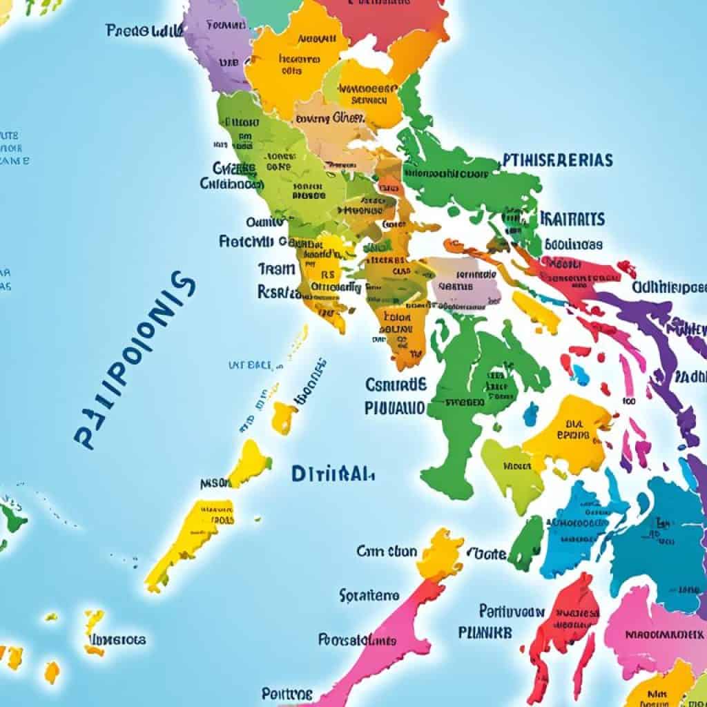
The administrative divisions of the Philippines reflect the country’s rich diversity and the importance of decentralization in governance. They provide a framework for efficient administration, representation, and local development, ensuring that the needs of the Filipino people are met at various levels.
Major Cities and Locations in the Philippines
The Philippines is a diverse country that boasts several major cities and notable locations, each offering its own unique charm and significance. These cities, distributed across different regions in the country, serve as important centers of administration, commerce, and culture. Meanwhile, rivers, lakes, and bodies of water dot the Philippine landscape, enhancing its natural beauty.
Major Cities
The Philippines is home to a plethora of major cities that contribute to the country’s growth and development. Some of these cities include:
These cities offer a rich cultural heritage, bustling urban centers, and a myriad of attractions and activities for visitors to enjoy. From historical landmarks to vibrant markets, each city has its own distinct character and charm.
Notable Locations
The Philippines is also blessed with stunning locations that showcase its natural splendor. Here are some notable locations worth exploring:
- Rivers: Cagayan River, Pasig River
- Lakes: Laguna de Bay, Lake Lanao
- Bodies of Water: Philippine Sea, South China Sea, Sulu Sea
These picturesque rivers, lakes, and bodies of water not only contribute to the beauty of the Philippine archipelago but also play a vital role in the country’s ecosystem and provide recreational opportunities for locals and tourists alike.
Whether you’re looking to immerse yourself in the vibrant city life or explore the natural wonders of the Philippines, the major cities and locations in the country offer a wide range of experiences that cater to every traveler’s preferences.
Natural Resources and Hazards in the Philippines
The Philippines is blessed with abundant natural resources that contribute to its economic growth and development. Some of the valuable resources found in the country include cobalt, silver, gold, nickel, copper, salt, timber, and petroleum. These resources play a significant role in various industries, such as mining, agriculture, and energy production, making them essential for the country’s economic stability and progress.
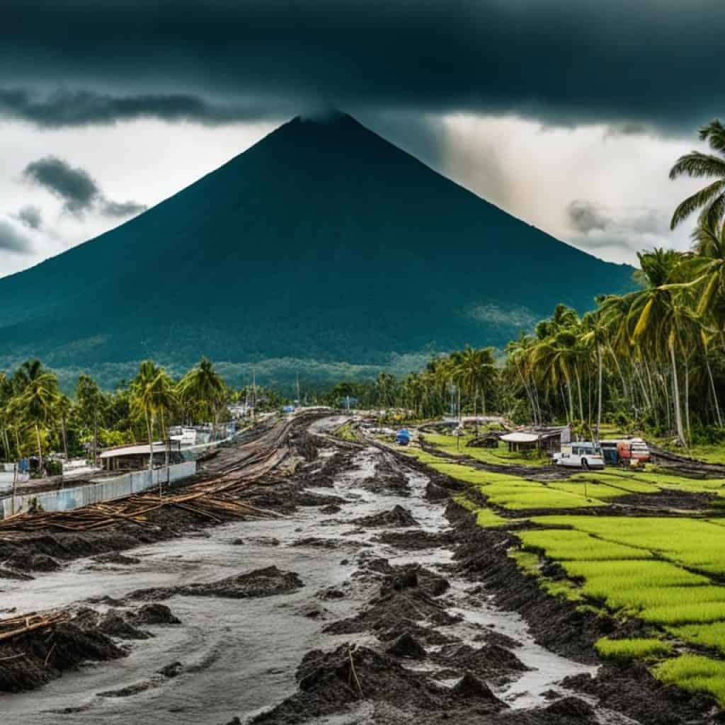
However, despite its rich natural resources, the Philippines also faces numerous natural hazards due to its geographical location. Situated in the typhoon belt, the country experiences an average of 15 cyclonic storms each year, leading to significant damage and loss of lives. Typhoons bring strong winds, heavy rainfall, and storm surges, posing threats to coastal areas and causing flooding and landslides in mountainous regions.
The Philippines is also prone to earthquakes, being located in the Pacific Ring of Fire, a region characterized by intense seismic activity. These earthquakes can result in infrastructure damage, displacement of communities, and loss of lives. Moreover, the country’s geology is marked by active volcanoes, such as Mayon Volcano and Mount Pinatubo, which pose eruption risks and potential hazards to nearby residents.
Additionally, the Philippines faces environmental challenges stemming from human activities. Deforestation, driven by logging and land conversion, leads to soil erosion and loss of biodiversity. Air and water pollution, arising from industrial activities, improper waste management, and vehicle emissions, adversely impact the environment and public health. Coral reef degradation, caused by destructive fishing practices and coastal development, threatens marine ecosystems and the livelihoods of coastal communities.
In summary, while the Philippines boasts abundant natural resources that contribute to its economic growth, its geographical location exposes the country to various natural hazards. The government and communities need to prioritize disaster preparedness, sustainable resource management, and mitigating environmental issues to ensure the well-being and resilience of the Filipino people.
Bodies of Water in the Philippines
The Philippines is blessed with a multitude of bodies of water that significantly contribute to the country’s natural beauty and abundant resources. Let’s explore some of the prominent water features that grace the Philippine archipelago.
The Philippine Sea
The Philippine Sea borders the eastern part of the Philippines and plays a vital role in the country’s maritime boundaries. It is known for its stunning turquoise waters and diverse marine life, making it a popular destination for snorkeling and diving enthusiasts.
South China Sea
The South China Sea extends across the western part of the Philippines and is a significant body of water that connects the country to its neighboring nations. With its vast expanse and strategic location, the South China Sea holds great economic and geopolitical importance.
Celebes Sea
The Celebes Sea lies on the southern part of the Philippines and is named after the Indonesian island of Sulawesi, which was formerly known as Celebes. The Celebes Sea boasts impressive marine biodiversity, attracting marine scientists and nature enthusiasts alike.
Sulu Sea
Nestled between the provinces of Basilan, Sulu, and Tawi-Tawi, the Sulu Sea is a captivating body of water that forms part of the maritime boundary between the Philippines and Malaysia. It is recognized for its stunning coral reefs and pristine beaches.
The Philippines is not only surrounded by these vast bodies of water but is also home to various lakes and rivers that contribute to the country’s natural wonders. Let’s discover some of these remarkable inland water features:
Laguna de Bay
Laguna de Bay, located in the southwestern part of Luzon Island, is the largest lake in the Philippines. It stretches across approximately 949 square kilometers and serves as a vital resource for irrigation, fishing, and flood control in the surrounding areas.
Lake Lanao
Situated in the province of Lanao del Sur in Mindanao, Lake Lanao is the second-largest lake in the Philippines and is known for its serene beauty. The lake is a source of hydroelectric power and provides sustenance for various aquatic species.
In addition to lakes, the Philippines boasts an extensive river system that crisscrosses the islands and contributes to the country’s geographical diversity:
Cagayan River
The Cagayan River flows through the Cagayan Valley region in northern Luzon and is the longest and largest river in the Philippines. It is a significant waterway for irrigation, transportation, and hydroelectric power generation.
Pasig River
The Pasig River flows through Metro Manila, serving as a vital lifeline for the capital and its surrounding areas. Although facing environmental challenges, efforts have been made to rehabilitate and restore the river’s ecological balance.
These stunning bodies of water, along with the lakes and rivers of the Philippines, contribute to the country’s unique natural landscape. They provide habitats for diverse ecosystems, offer recreational opportunities, and support various economic activities. Whether you’re exploring the coastal regions, engaging in water sports, or appreciating the serene beauty of lakes and rivers, the Philippines has something to offer for every nature enthusiast.
Islands of the Philippines
The Philippines is a captivating archipelago comprised of over 7,600 islands, each with its own unique charm and beauty. Let’s explore some of the notable islands that make up this incredible country.
Luzon and Mindanao
Luzon and Mindanao are the largest islands in the Philippines. Luzon, located in the northern part of the country, is known for its stunning landscapes, including rugged mountain ranges, fertile plains, and active volcanoes. Mindanao, situated in the southern region, boasts diverse geography, with mountainous areas, expansive valleys, and picturesque coastal plains.
Visayan Islands
The Visayan islands offer a wealth of natural wonders and cultural gems. Cebu, one of the most popular islands, is renowned for its rich history and vibrant city life. Bohol, with its iconic Chocolate Hills and unique wildlife, is a paradise for nature enthusiasts. Negros showcases breathtaking landscapes and beautiful beaches, providing a serene haven for relaxation.
Palawan and Boracay
Palawan, often referred to as the “Last Frontier,” is famous for its pristine beaches, crystal-clear waters, and lush jungles. It is a haven for divers and nature lovers, with stunning marine biodiversity and UNESCO World Heritage Sites. Boracay, on the other hand, is renowned for its white-sand beaches and vibrant nightlife, attracting tourists from all over the world.
Spratly Islands
The Spratly Islands, a group of islets and reefs located in the South China Sea, are a subject of territorial disputes between the Philippines and neighboring countries. These islands, although small in size, play a significant role in shaping the political geography of the Philippines.
To truly appreciate the beauty and diversity of the Philippines, one must explore its multitude of islands, each offering its own unique experiences and breathtaking landscapes.
| Island | Location | Highlights |
|---|---|---|
| Luzon | Northern part of the Philippines | Cordillera Central mountain range, Sierra Madre mountain range, Mayon Volcano |
| Mindanao | Southern part of the Philippines | Kitanglad Range, Bukidnon-Lanao Plateau, Cotabato Valley, Mount Apo |
| Visayan Islands | Central part of the Philippines | Cebu City, Bohol’s Chocolate Hills, Negros’ natural landscapes |
| Palawan | Western part of the Philippines | El Nido, Underground River, Tubbataha Reefs Natural Park |
| Boracay | Central part of the Philippines | White Beach, Puka Shell Beach, vibrant nightlife |
| Spratly Islands | South China Sea | Territorial disputes, strategic location |
Geography of Luzon
Luzon, the largest and most populous island in the Philippines, is a region of diverse landscapes and natural wonders. Its unique topography showcases the grandeur of the Cordillera Central mountain range and the majestic Sierra Madre mountain range.
This rugged terrain offers breathtaking views and is a playground for adventurers and outdoor enthusiasts. Luzon is also home to the Central Plains, an expansive and fertile agricultural region, and the scenic Bicol Peninsula. The Bicol Peninsula is known for its mix of flatlands and mountainous areas, featuring one of the most iconic landmarks of the Philippines â the magnificent Mayon Volcano.
The geographic diversity of Luzon creates a vibrant ecosystem and provides opportunities for various economic activities. From farming and agriculture in the Central Plains to tourism in the Bicol Peninsula, Luzon showcases the interplay between nature and human endeavors.
Notable Features of Luzon:
- Cordillera Central mountain range
- Sierra Madre mountain range
- Central Plains
- Bicol Peninsula
- Mayon Volcano
Luzon's Natural Resources:
Luzon is rich in natural resources, including minerals, fertile soil, and abundant flora and fauna. These resources contribute to the region’s economic development and provide livelihoods for many of its inhabitants.
Rivers and Lakes in Luzon:
Luzon is also blessed with several rivers and lakes that are not only picturesque but also play vital roles in irrigation, transportation, and recreation. These bodies of water contribute to the region’s agricultural productivity and provide habitats for various aquatic species.
| Rivers | Lakes |
|---|---|
| Cagayan River | Laguna de Bay |
| Pasig River | Lake Lanao |
Geography of Visayas
Visayas is a central region of the Philippines composed of several islands, including Panay, Cebu, and Bohol. The region boasts a diverse geography, characterized by a combination of mountainous terrain, coastal lowlands, and rolling hills.
Western Visayas is home to Panay Island, known for its central mountain range and fertile plains, making it an agricultural hub in the region.
Central Visayas includes Cebu, the country’s most densely populated island, and Bohol, famous for its unique geological formation, the Chocolate Hills. Cebu is a highly urbanized city and the central economic center, while Bohol is famous for its stunning natural landscapes and vibrant tourism industry.
Visayas’s diverse geography offers a wide range of opportunities for tourism, agriculture, and economic growth. Its unique natural landscapes and rich cultural heritage make it an attractive destination for both local and international travelers.
| Region | Main Islands |
|---|---|
| Western Visayas | Panay Island, Guimaras, Negros Occidental |
| Central Visayas | Cebu, Bohol, Negros Oriental, Siquijor |
| Eastern Visayas | Samar, Leyte, Biliran, Eastern Samar, Northern Samar, Southern Leyte |
Geography of Mindanao
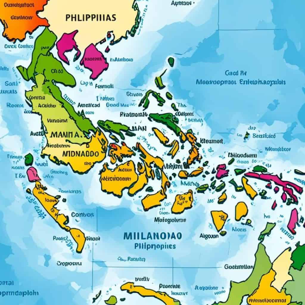
Mindanao, the second-largest island in the Philippines, is located in the southern region. This island is renowned for its diverse and captivating landscapes, including breathtaking mountain ranges and fertile valleys that support agricultural activities. Among its notable features are the magnificent Diwata Range and Kitanglad Range, which offer stunning vistas and serve as natural habitats for a variety of unique flora and fauna. Mindanao also boasts the Bukidnon-Lanao Plateau, a fertile valley that plays a crucial role in the agricultural sector, and the picturesque Cotabato Valley.
Mount Apo, the highest peak in the Philippines, is proudly situated in Mindanao. Standing at an elevation of approximately 9,692 feet (2,954 meters), Mount Apo attracts adventurers and nature enthusiasts from around the globe with its awe-inspiring beauty and challenging hiking trails.
The geography of Mindanao can be characterized by the division between its coastal lowlands and interior highlands. The coastal lowlands provide access to stunning beaches, while the interior highlands offer a rich tapestry of natural wonders. This diversity in landscapes creates unique opportunities for tourism, agriculture, and exploration.
Explore the breathtaking landscapes and natural beauty of Mindanao, from its towering mountain ranges to its lush valleys. Experience the thrill of conquering Mount Apo, the Philippines’ highest peak, or indulge in the tranquility of the island’s coastal lowlands. Mindanao offers a diverse and captivating geography that will leave you awe-struck.
Key Features:
- Diwata Range
- Kitanglad Range
- Bukidnon-Lanao Plateau
- Cotabato Valley
- Mount Apo
Philippines as the Capital and Administrative Center
Manila, located in the southwestern part of Luzon Island, serves as the capital city of the Philippines. It is a major administrative, political, social, cultural, and economic center. Manila, along with the adjacent Quezon City, forms the National Capital Region, also known as Metro Manila. The region is the seat of the Philippine government and houses various government offices, embassies, international organizations, and commercial establishments.
Conclusion
The Political Map of the Philippines is a powerful tool that offers comprehensive insights into the country’s political divisions and geographical features. By studying this map, individuals can gain a deeper understanding of the regions, provinces, major cities, and natural elements such as rivers and mountains that shape the Philippines.
This invaluable resource not only aids in educational settings, where students can explore and learn about the country’s diverse topography, but also proves helpful for planning a trip to this captivating nation. Whether you’re an aspiring traveler or a curious student, the Political Map of the Philippines is an essential companion.
With its rich natural resources, distinct island formations, and varied topography, the Philippines presents a unique and exciting destination to discover. From the lush mountains of Luzon to the picturesque coastal landscapes of Visayas and the stunning valleys of Mindanao, the country’s diverse geography offers a plethora of experiences for every adventurer.
So, whether you’re fascinated by the political divisions or are keen to explore the stunning natural beauty of the Philippines, don’t forget to consult the Political Map of the Philippines. It will serve as your guide, providing you with the necessary knowledge to appreciate and navigate this remarkable country.
FAQ
What information does the political map of the Philippines provide?
The political map of the Philippines provides comprehensive information about the country’s political divisions, including regions, provinces, major cities, national capitals, rivers, lakes, main roads, and mountain peaks.
How can I obtain a copy of the political map of the Philippines?
The political map of the Philippines is available in various options such as laminated print, peel and stick fabric, and mounted on wooden rails. It can be purchased from map retailers or online stores.
What are the main regions in the Philippines?
The main regions in the Philippines are Luzon, Visayas, and Mindanao. Luzon is the largest and most populous island, Visayas is a central region composed of several islands, and Mindanao is the southern region known for its diverse landscapes.
How many provinces are there in the Philippines?
There are 81 provinces in the Philippines, including Abra, Agusan del Norte, Aklan, Albay, Antique, Apayao, Aurora, Basilan, Batangas, Benguet, Bohol, Bukidnon, Bulacan, Cagayan, Camarines Norte, Camarines Sur, Camiguin, Capiz, Cavite, Cebu, Davao del Norte, Davao del Sur, Eastern Samar, Guimaras, Ilocos Norte, Ilocos Sur, Iloilo, Isabela, Kalinga, Laguna, Lanao del Norte, Lanao del Sur, Leyte, Maguindanao, Marinduque, Masbate, Misamis Occidental, Misamis Oriental, Mountain Province, Negros Occidental, Negros Oriental, Northern Samar, Nueva Ecija, Nueva Vizcaya, Occidental Mindoro, Oriental Mindoro, Palawan, Pampanga, Pangasinan, Quezon, Quirino, Rizal, Romblon, Samar, Sarangani, Siquijor, Sorsogon, South Cotabato, Southern Leyte, Sultan Kudarat, Sulu, Surigao del Norte, Surigao del Sur, Tarlac, Tawi-Tawi, Zambales, and Zamboanga del Norte.
What are some major cities in the Philippines?
Some major cities in the Philippines include Manila, Quezon City, Cebu City, Davao City, and Zamboanga City. These cities serve as centers of administration, commerce, and culture.
What natural resources are found in the Philippines?
The Philippines is rich in natural resources such as cobalt, silver, gold, nickel, copper, salt, timber, and petroleum.
What natural hazards does the Philippines face?
The Philippines is prone to natural hazards including typhoons, earthquakes, landslides, and tsunamis. It is situated in the typhoon belt and experiences approximately 15 cyclonic storms each year.
What are some notable bodies of water in the Philippines?
The Philippines is surrounded by bodies of water such as the Philippine Sea, South China Sea, Celebes Sea, and Sulu Sea. It is also home to lakes like Laguna de Bay and Lake Lanao, and rivers such as the Cagayan River and Pasig River.
How many islands make up the Philippines?
The Philippines is comprised of over 7,600 islands.
What is the geography of Luzon?
Luzon is the largest and most populous island in the Philippines. It features a rugged topography with mountain ranges, fertile plains, and volcanic activity.
What is the geography of Visayas?
Visayas is a central region composed of several islands with a mix of mountainous terrain, coastal lowlands, and rolling hills.
What is the geography of Mindanao?
Mindanao is the southern region known for its diverse landscapes, including mountainous regions, fertile valleys, and coastal plains.
What is the capital city of the Philippines?
The capital city of the Philippines is Manila, located in the southwestern part of Luzon Island.




Add comment